


Get in contact
Find out how Woods can help with your project.
- Auckland +64 9 308 9229
- Christchurch +64 2 378 1773
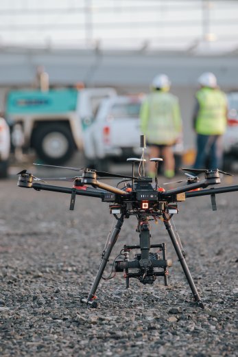
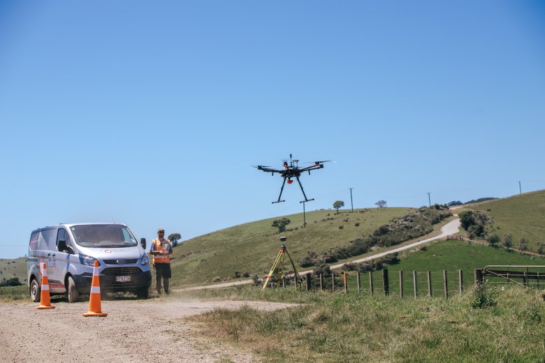
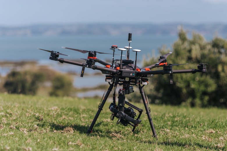
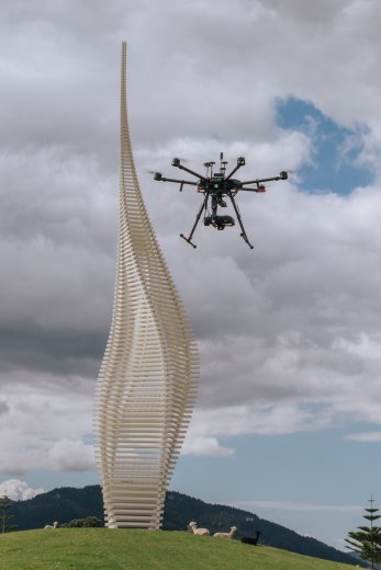
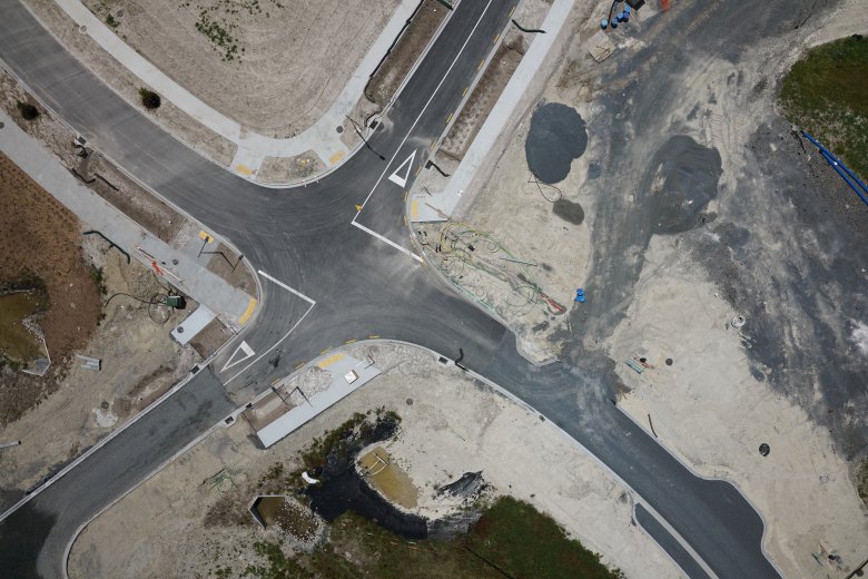
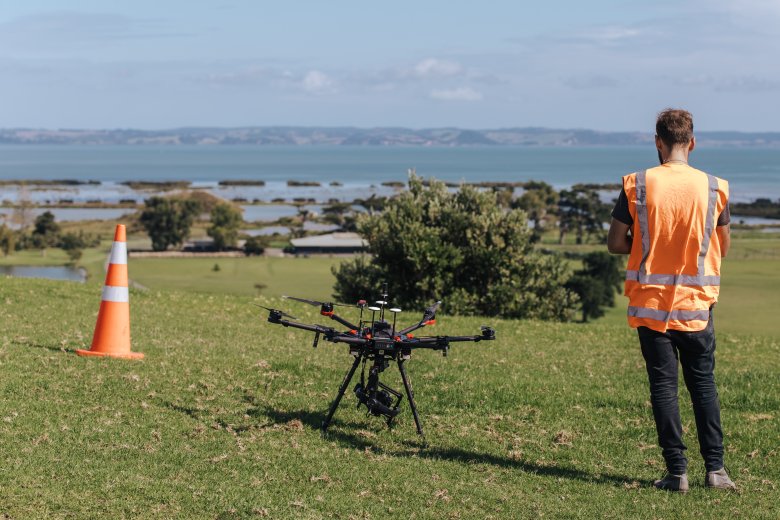
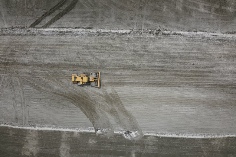
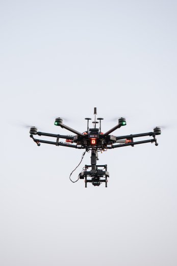
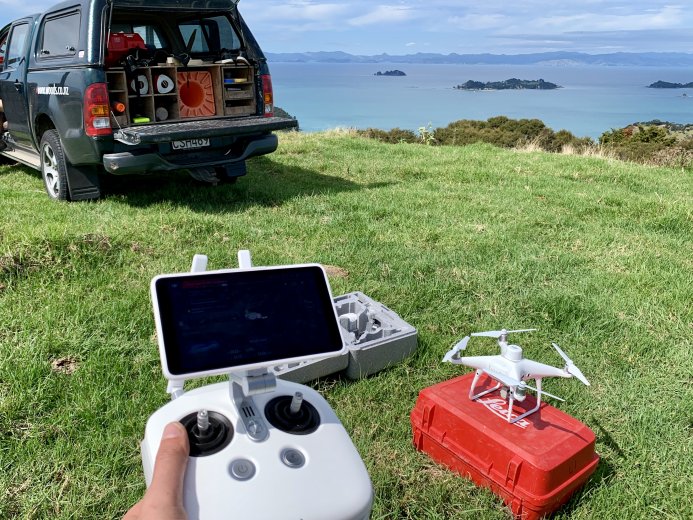
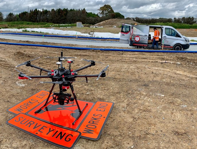
The use of Unmanned Aerial Vehicles (UAVs) has grown significantly in recent years, especially within the construction market. One of Woods’ principal uses of our in-house UAV is ortho-rectified aerial imagery for our land development sites. As a project management tool, up-to-date aerial images provide a useful platform for planning and delivery of upcoming stages.
UAV technology provides quick, accurate, and cost-effective methods to map landforms and structures. These methods also provide health and safety benefits by allowing the collection of survey data without the need for personnel to enter hazardous environments such as earthworks, construction, quarries, or landfills
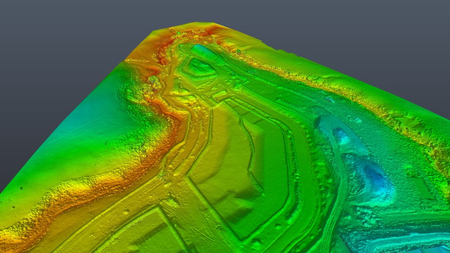
Outputs from aerial mapping and surveying include:


Find out how Woods can help with your project.