
Get in contact
Find out how Woods can help with your project.
- Auckland +64 9 308 9229
- Christchurch +64 2 378 1773
Woods offers services across a range of disciplines, all of which are spatial in nature.
Our projects require data capture and management in complex environments throughout the life cycle, from due diligence & feasibility, through design and construction, into built environments, asset hand-over, and infrastructure management.
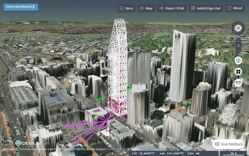
Using Geographic Information Systems (GIS) allows us and our clients to look at this complexity together without needing to be in the field.
We have built our Enterprise Geospatial Platform utilising a mix of commercial and open-source products to support growth without licensing overheads and per-user subscription models.
Services
Our consulting services support existing clients and projects, or new clients looking to leverage our expertise and systems.
Services offered across a suite of software and systems including, QGIS, Safe FME, PostGIS Databases, Geoserver, Azure, and ESRI Tools include:
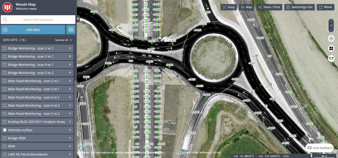
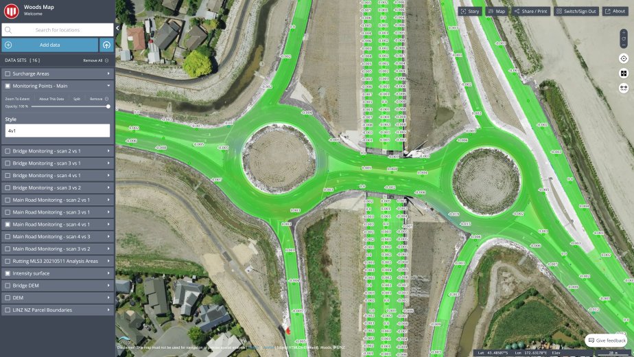
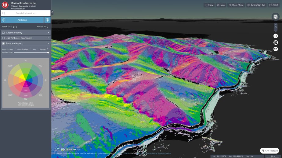
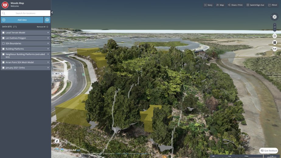
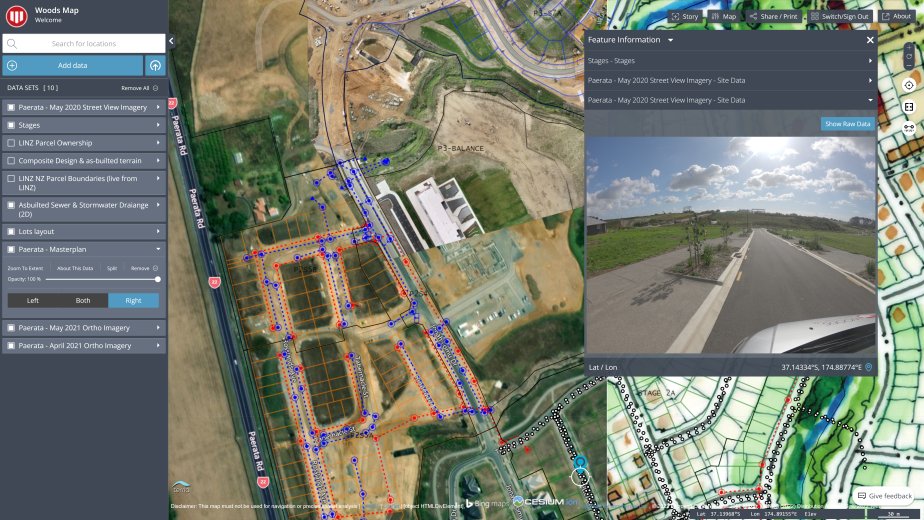
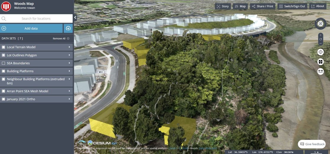
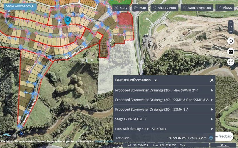
Woods Map
Woods Map is a Geographic Information Systems (GIS) centric project portal, it is the core visualisation and delivery component of our GIS Services outlined above.
Find out how Woods can help with your project.